

*as seen in North Canton Living Magazine July 2024
I stood under the moonless sky gazing at the stars through the leafless trees. The inky black December night was spooky as we looked around noting the lack of artificial light. Our breath bloomed in front of us as we snuggled into our winter coats. My son turned to me and asked, “Do you think this is what they saw at night while traveling the Natchez?”
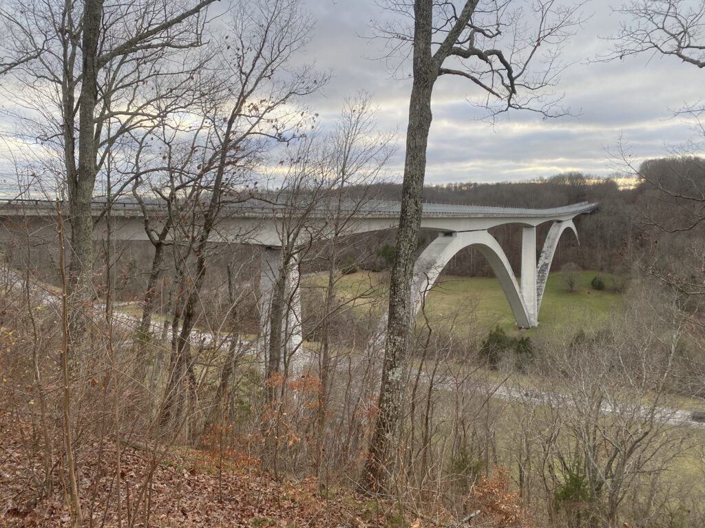
For more than ten thousand years the Natchez Trace is one of the oldest transportation routes in North America. This network of trails originates in Natchez, Mississippi, and ends in Nashville, TN covering 444 miles of parkway. Steeped in history, we began our journey on the Nashville end and traveled south along the two-lane parkway. The only signage available are historical markers and some road signs to indicate nearby towns. We broke our trip up over four days staying at the first come, first serve free campgrounds dotting the parkway. Due to the chilly winter week before Christmas, the parkway was quiet with minimal traffic.
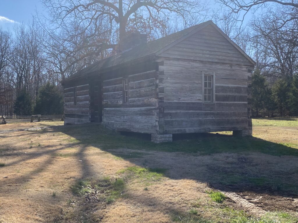
Without stopping, the parkway takes about eleven hours to traverse. Early on, we decided to stop at every historic marker and landmark from the cabin where Merriweather Lewis died to Emerald Mound, a Native American gathering spot over 1000 years old. The parkway is a serene drive with no lights and limited access.
In recent history, more than 200 years ago, Kaintucks used the Natchez to return home to the Ohio River Valley. They began their trip floating goods down the Ohio and Mississippi River to markets in Natchez and New Orleans. They returned home traveling by foot more than 500 miles taking an average of 35 days. This period from 1785 to 1830 marks the heaviest use of the Natchez Trace.
We visited deeply grooved sections of the original trail that are open to hiking today. There are sections open to walk today right off the parking areas of the parkway.
Many sections of the parkway pass near Civil War battlefield sites, especially near Tupelo, Mississippi. There are historic structures named Stands that offered food, and news and served as a postal route from the 1790s to the 1840s. As steamboats began to traverse the Mississippi, traffic along the Natchez dwindled until it became a National Parkway in 1938.
The Trail of Tears crossed the Natchez in three different places. Over 4,000 people lost their lives due to the forced relocation. Choctaw, Chickasaw, and Natchez view the lands along the Trace as their original tribal land and to this day meet there for cultural purposes.
Emerald Mound is one of seven mound groups along the Trace. Emerald Mound is the largest and well worth a stop. The mound is the size of a football field and rises 35 feet high with another mound on top rising 30 feet. The mound is thought to be the second-largest ceremonial mound of the Mississippian Period. Other mounds are thought to be burial mounds dating to this same period.
When we arrived in Tupelo after nearly four days on the Parkway, the sights and sounds of the city were a shock to our senses. As we sat for our first restaurant meal of the trip after a long hot shower, I began to miss the quiet steady drive of the Trace.
What I Learned
Meriwether Lewis died of gunshot wounds on his way from Missouri to Washington DC. It is not known if it was suicide or murder that took his life.
The Old Trace trail was dangerous and full of highwaymen. Many Kaintucks traveled in groups to provide safety in numbers.
Pharr Mounds is a starkly beautiful area with eight burial mounds thought to be a central trading post dating 2,000 years ago.
The Natchez Trace Parkway is 444 miles long passing through three states with little more than fifty access points.
Before You Go
While the parkway has little more than fifty access points, they can be difficult to find and GPS is not agreeable in many areas. I recommend you start at one end and carefully stray as needed. Download maps via the NPS app as there were several hours without cell coverage. The best way to navigate is to pick up a park map at the first stopping point and follow along.
At its narrowest, the parkway is eight miles wide and there are no services along the route. Begin with a full tank and using the NPS map, watch for gas stations and communities along the way. These are remote though so don’t skip the fill-up.
There is no shoulder along the route. There are many places to pull over but several would be difficult for a vehicle over 24 feet and 10 feet high. We visited in December with little traffic but this route would be crowded spring to fall with frequent slow drivers and bicyclists.
The main visitor center is near Tupelo. There was a movie, a small museum, and a gift shop at this location. Perhaps due to the off-season, we found many locations didn’t reference the Trace. Several times when we ventured off parkway people would look blank when asked questions about it. We decided to stick to the NPS information as there was little else to be found this time of year.
There are no entrance fees or need for a national park pass along the Natchez Trace Parkway. We did not pass an entrance station at either end. We did maintain the speed limit as national park rangers were patrolling.
There are three, free campgrounds along the parkway. First come, first serve with only basic flush bathrooms available, these campground sites were level and well spaced out. There were no showers or dump stations available. Nor was there lighting available so plan accordingly.
